The Twin Cities Marathon course has been quite busy this summer, just like every summer (actually year round). This is because the course takes in some of the coolest recreation spots in the metro – or at least Minneapolis. Beginning in downtown Minneapolis the 26.2 mile course makes a big circle before ending up in downtown St Paul. Leaving the sports capital of Minnesota (the Metrodome) runners take in some amazing views before arriving at the state capital of Minnesota. What a course. Here’s last year’s course preview.
Below are 26 pictures from the course itself (though they don’t come from all 26 miles of the course).
 |
A picture of the map… |
| The Hurbert H Humphrey Metrodome – aka staging area and starting line. | 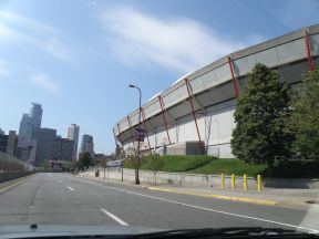 |
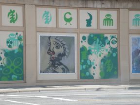 |
A random wall downtown along Hennepin Ave. I know some of the symbols are Adrinka symbols of West Africa, but I don’t know their history here. |
| The Basillica of St Mary is on Hennepin as well. Don’t let the old architecture fool you, they are on Twitter. |  |
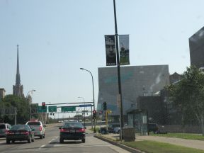 |
This is WAC, the Walker Art Center. On the right is the Minneapolis Sculpture Garden. I’ve heard tell that some people use it as a quick potty stop. (I don’t recommend it) Watch this hill. If we ran on the sidewalks we’d actually get to run under the Walker. |
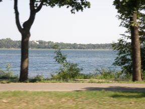
| TCM isn’t called “The Most Beautiful Urban Marathon in American” for nothing. This is Lake of the Isles, the first among several lakes we’ll travel around. We won’t run by the most expensive house in Minneapolis, but it is located on the Isles. | 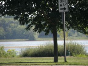 |
 |
Here’s another shot of the Isles. |
| Dean Parkway going underneath the Midtown Greenway. | 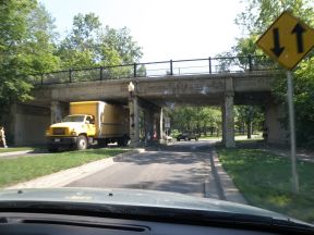 |
 |
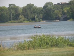
Lake #2 Lake Calhoun. On the south end there will be a cool view of the downtown skyline with the lake in the foreground. |
| The third lake is Lake Harriet which has a cool band shell and yacht club. | 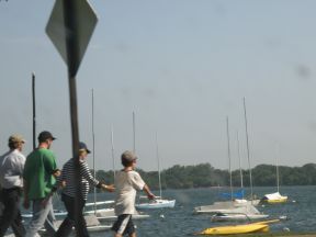 |
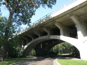 |
Running under the Niollet Ave bridge (I think). A local marching band stands under one of these bridges and plays. |
| The 7ft bronze rabbit at the intersection of Portland and Minnehaha Parkway. I can’t figure out where it came from. | 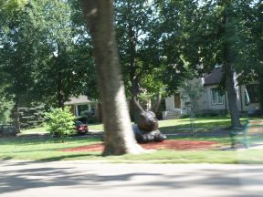 |
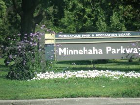 |
We run a long ways on this parkway. Here is wikipedia’s take on who Minnehaha was… |
| The Grand Rounds is a great way to see the major sites in the city. A road, trail system, and scenic destination itself, much of the marathon is actually run along the Grand Rounds. | 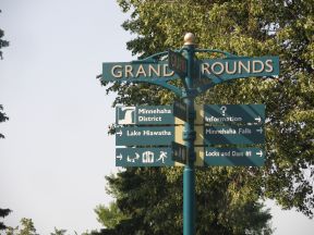 |
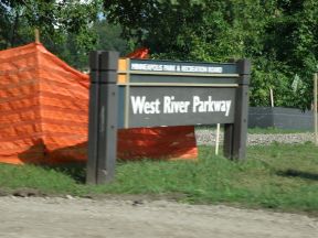 |
West River Parkway has been under construction all summer, but it won’t affect the race. This is where I started to fall apart during the 2008 marathon. |
| The Mississippi River is a national park. This is crossing the Franklin Ave bridge. | 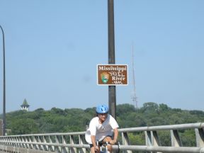 |
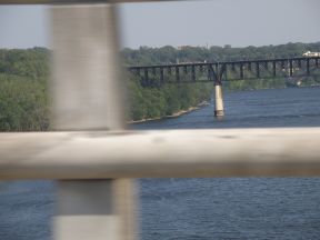 |
A bad shot of the river! |
| This is now on East River Road getting ready to go under a rail bridge which will one day connect to the Greenway. |  |
 |
University of St Thomas sits atop a nice hill and is around the 21 mile mark! |
| A nice long look up Summit Ave. A nice long uphill. And is the longest remaining stretch of residential Victorian architecture in the United States. |  |
 |
Bridge crossing Ayd Mill Rd. |
| A cool church on the corner of Lexington Parkway and Summit Ave. | 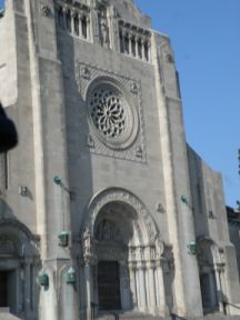 |
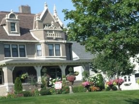 |
One of many cool houses. If you aren’t in complete agony, be sure to check them out! They are on both sides. |
| This is a great sign!! You are atop the hill and getting ready to turn left into the final stretch. I always felt a little let down that we turn here instead of just going down the hill! |  |
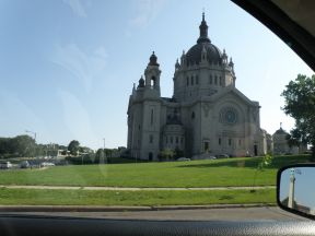 |
The Cathedral of St Paul. When you see the steeple it is almost over! |
| The Minnesota State Capital building and the finish line!!! Congratulations you’ve finished. | 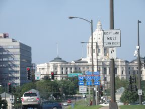 |
[tags] Twin Cities Marathon, TCM, Marathon, Twin Cities [/tags]
![Reblog this post [with Zemanta]](https://i0.wp.com/img.zemanta.com/reblog_e.png?w=625)